


leon

Vinceneux
User
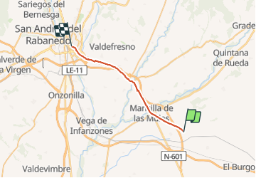

Length
25 km

Max alt
901 m

Uphill gradient
217 m
Km-Effort
28 km

Min alt
790 m

Downhill gradient
206 m
Boucle
No
Creation date :
2023-09-17 05:36:59.301
Updated on :
2023-09-17 11:23:46.972
5h43
Difficulty : Very difficult

FREE GPS app for hiking
 SityTrail
IGN / Geographical institutes
SityTrail Plus
The world is yours!
About
Trail Walking of 25 km to be discovered at Castile and León, Unknown, Santas Martas. This trail is proposed by Vinceneux.
Photos


Positioning
Country:
Spain
Region :
Castile and León
Department/Province :
Unknown
Municipality :
Santas Martas
Location:
Unknown
Start:(Dec)
Start:(UTM)
306477 ; 4704977 (30T) N.
Comments